Advanced LTPBR Design
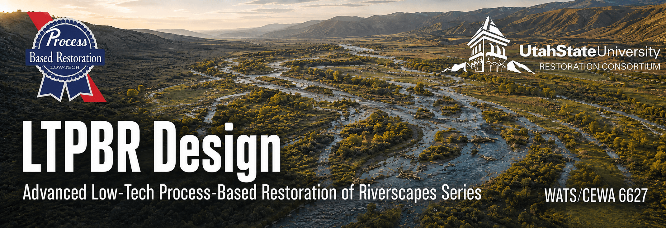
Move from a defensible understanding of a riverscape to a practical, site-specific LTPBR design. In this advanced short course, participants use Riverscapes Studio (QRiS) to complete a desktop design for a project site of their choosing. They select and locate treatments, anticipate their short- and medium-term effects, and prepare a design that accounts for construction needs, access, staging, materials, risks, and constraints.
Online · October 13–16, 2026 · 1 graduate credit or 1.5 CEUs

Take me to Canvas
I'm enrolled. Take me right to 2026 Canvas Course (Requires registration).

Take me to Lectures & Modules
The modules associated with WATS/CEWA 6627 — Advanced LTPBR Design are free for viewing here.
Registration Open
- Professionals register through USU Continuing Education - Open until day before!
- Matriculated USU Students - Register via Banner
Course Information
| Course Number | Format | Dates & Days | Times | Credit | Cost |
|---|---|---|---|---|---|
| WATS/CEWA 6627 | Live Online  | Oct 13–16, 2026 · Tue, Wed, Thu, Fri | 9:00 am–12:00 noon; 2:00–4:00 pm MT | 1 Graduate Credit · 1.5 CEUs | Standard Tuition or $330 for CEU |
Who Should Attend
This advanced short course is intended for restoration practitioners, natural-resource professionals, graduate students, and GIS users who want to move from a completed planning analysis to a defensible, practical LTPBR design. Participants should bring a real or realistic project site and an existing planning analysis to develop throughout the course.
Prerequisites
- Be comfortable with basic GIS workflows. See Getting Oriented in QGIS for self-paced preparation or USU's Geospatial Collective for formal training options.
- Have completed WATS/CEWA 6626 — Advanced LTPBR Planning and WATS/CEWA 5623 — Introduction to LTPBR Design, or have equivalent experience.
- Install a supported version of QGIS and the Riverscapes Studio (QRiS) and Riverscapes Viewer plugins before class.
- Have a Riverscapes Consortium account and arrive with a candidate project site and planning analysis. Existing WATS/CEWA 6626 projects may be continued into design.
Instruction Team





Office Hours - For every day class meets, we will hold office hours from 1:00–2:00 pm MT using the class meeting link, or by appointment.
Course Overview
Design begins with the understanding, objectives, recovery potential, spatial priorities, risks, and constraints developed during planning. Here we turn those planning judgments into a practical proposal for where to act, what treatments to use, and identifying how those treatments are expected to influence riverscape processes, as well as considering logistics of how the work could be implemented.
This course helps practitioners translate a planning analysis into a defensible site-scale LTPBR design. Participants will use mapping and quantitative analysis to set or refine project objectives, select the locations and types of treatments, and describe their expected short- and medium-term effects. They will develop a desktop design while discussing how field design and field verification should refine it.
The goal is not to produce a static blueprint that presumes certainty. It is to prepare a practical design that is explicit about expected responses (design hypotheses in zones of influences), construction needs, access, staging, material sources, risks, and constraints. The resulting design should be sufficiently complete to guide implementation while remaining open to field adjustment and adaptive management.
Relationship to the Advanced LTPBR Series
WATS/CEWA 6627 begins with the planning handoff developed in WATS/CEWA 6626 — Advanced LTPBR Planning: a defensible understanding of the riverscape, project objectives, recovery potential, spatial priorities, likely treatment approaches, risks, and constraints.
This course carries that work through detailed treatment selection and layout, expected effects, implementation considerations, and preparation of a design report. The completed design establishes explicit predictions that can subsequently be tested through riverscape monitoring and adaptive management.
Learning Outcomes
By the end of this course, students will be able to:
- Use Riverscapes Studio to complete LTPBR Design process for their own project.
- Apply concepts of Conservation Planning Process and LTPBR Design taught in WATS/CEWA 5623, but with QRiS and quantiative mapping and analysis.
- Articulate and support "complex-scale" objectives as part of design process appropriate to addressing condition impairments identified in planning phase.
- Design LTPBR treatments by specify locations and type of specific LTPBR structures and actions** - and use "structure-scale" zones of influence to articulate hypothesized short and medium term responses.
- Formulate a design inclusive of construction, staging, and material sourcing logistics that account for risks and constraints identified in planning phase.
- Develop expectations for short and medium term responses to proposed actions in this phase of their design, and articulate how much progress towards the recovery potential identified in their planning assessment they expect this treatment to potentially achieve.
- Create a full LTPBR design and report, post draft project to the Data Exchange, and if appropriate share proposed actions on PBR Explorer.
Main Course Project
Each participant will complete an LTPBR Design for a project reach or riverscape of their choosing. Participants are encouraged to continue the project developed in WATS/CEWA 6626, but may bring an equivalent planning analysis for another site.
The project will develop iteratively throughout the week:
- Design basis: Review and refine the planning handoff, including project objectives, recovery potential, spatial priorities, likely treatment approaches, risks, and constraints.
- Treatment selection and layout: Select treatment types and map their proposed locations, density, and configuration in relation to site conditions and design objectives.
- Expected effects: Describe and, where appropriate, estimate the short- and medium-term effects of proposed treatments on riverscape conditions and processes.
- Implementation and refinement: Account for access, staging, materials, construction needs, risk, constraints, and the field observations or adjustments needed before and during implementation.
In-class exercises will mix guided examples, where participants work together at a common site, with application of the same methods to each participant's own site.
Final Products
To complete the course, participants will:
- Complete an LTPBR Design Report, including design objectives, proposed treatments and layout, expected effects, implementation considerations, risks, constraints, assumptions, and remaining questions.
- Create a QRiS project and publish it to the Riverscapes Data Exchange.
- Attach the completed design report as a PDF attachment to the published Riverscapes Studio project and associate it with the relevant design DCE(s).
- Add proposed actions to PBR Explorer when appropriate. Projects may be kept private within a Data Exchange organization shared with the instructors.
- Give a concise presentation of the design and receive peer and instructor feedback at the end of the workshop.
- Share links to the presentation and Riverscapes Studio project in the Advanced LTPBR Series Community.
Course Resources
The course will use:

Main Course Resources Page
The main page for course materials and resources is on the QRiS website.
QRiS & QGIS
Riverscapes Studio, a plugin for QGIS, will be the primary software used in this course.
Chapter 5 LT-PBR Manual
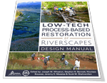
Chapter 5 of the LTPBR Design Manual focuses on design.

Module 4 Self-Paced Modules
Content from WATS/CEWA 5623 Module 4 on design.
Canvas
Course Page for Assignment Submission, Zoom and Grades
We will be using Canvas for this class. Communication outside of class time will be on our Advanced LTPBR Series Community on the Riverscapes Consortium. Assignments will be submitted officially in Canvas and by sharing your Riverscapes Studio Projects on the Data Excahnge and as posts in our community.
Community Resources
These communities from the Riverscapes Consortium are great places to ask questions, connect with colleagues, and share your work. These communities extend beyond the one-week class.

Advanced CEWA LTPBR Series Community
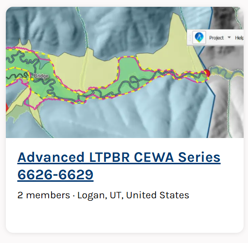
The community for connecting with others in this class and across the Advanced LTPBR course series.
Riverscapes Studio Users
A community for QRiS users to follow releases, webinars, and training; ask questions; and share their work.

LTPBR of Riverscapes - Practitioner Community
A community intended to facilitate exchange among LTPBR practitioners anywhere in the world.
Textbook
LT-PBR Manual
The 2019 Low-Tech Process-Based Restoration of Riverscapes Design Manual (free/required). Focus on Chapter 5.
Pocket Guide
An LTPBR Pocket Guide to take into the field (optional).
Course Grading
Pass / Fail grading is based on completion of the project assignment and participation.
A passing project does not need to be a final construction package or represent a design that will actually be built. It must be a plausible design—even where assumptions are made for the purposes of the class—and demonstrate that the student has:
- Connected design objectives and treatment choices to the planning analysis and site conditions.
- Selected and mapped appropriate treatment types, locations, densities, and configurations.
- Described the expected short- and medium-term effects of the proposed actions.
- Accounted for construction needs, access, staging, material sources, risks, and site constraints.
- Distinguished evidence from assumptions and uncertainty and identified needs for field verification or adjustment.
- Completed and shared the required design report, Riverscapes Studio project, presentation, and associated links.
Simple: do the work - pass.
University Policies
See Canvas