Riverscape Monitoring
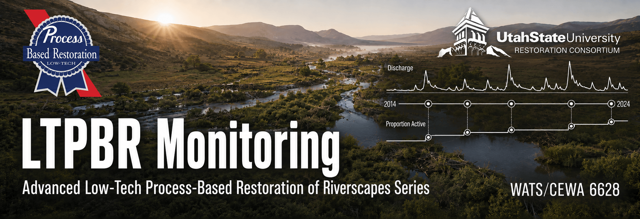
Turn observations collected across space and time into evidence about riverscape condition, change, and restoration outcomes. In this advanced short course, participants use Riverscapes Studio (QRiS) to organize monitoring data, apply appropriate methods, analyze change, and communicate what has—and has not—been learned about a riverscape or restoration project.
Online · October 26–29, 2026 · 1 graduate credit or 1.5 CEUs

Take me to Canvas
I'm enrolled. Take me right to the 2026 Canvas course (requires registration).

Take me to Lectures & Modules
The modules associated with WATS/CEWA 6628 — Riverscape Monitoring are free for viewing here.
Registration Open
- Professionals register through USU Continuing Education - Open until day before!
- Matriculated USU Students - Register via Banner
Course Information
| Course Number | Format | Dates & Days | Times | Credit | Cost |
|---|---|---|---|---|---|
| WATS/CEWA 6628 | Live Online  | Oct 26–29, 2026 · Mon, Tue, Wed, Thu | 9:00 am–12:00 noon; 2:00–4:00 pm MT | 1 Graduate Credit · 1.5 CEUs | Standard Tuition or $330 for CEU |
Who Should Attend
This advanced short course is intended for restoration practitioners, natural-resource professionals, graduate students, researchers and GIS users who want to design, organize, analyze, and communicate riverscape monitoring. Participants may focus on a restoration project or on broader questions about riverscape condition and change.
Prerequisites
- Be comfortable with basic GIS workflows. See Getting Oriented in QGIS for self-paced preparation or USU's Geospatial Collective for formal training options.
- Previous LTPBR coursework is helpful but not required.
- Install a supported version of QGIS and the Riverscapes Studio (QRiS) and Riverscapes Viewer plugins before class.
- Have a Riverscapes Consortium account and arrive with a candidate monitoring site, project, or question. Existing planning or design projects may be continued into monitoring.
Instruction Team



Office Hours - For every day class meets, we will hold office hours from 1:00–2:00 pm MT using the class meeting link, or by appointment.
Course Overview
Monitoring begins with a question — not a method. Useful monitoring makes clear what is being observed, why it matters, how observations made at different places and times can be compared, and what evidence would support, challenge, or refine an interpretation of riverscape condition or project performance. In a restoration context, the question is often:
Did the restoration actions achieve the desired outcomes?
This is action-effectiveness monitoring, and is done best in the context of the restoration plan and design. Monitoring can be based on a before - after design, or a B-A-C-I before, after, control intervention alnalysis.
For basic status and trend monitoring, repeated observations over time are used to detect changes in riverscape condition, independent of specific restoration or management actions. A question in this case might be:
Is the riverscape condition improving, declining, or remaining stable over time?
This course helps practitioners turn monitoring questions into organized, repeatable observations and defensible analyses. Participants will use QRiS protocols to guide the collection and organization of monitoring data. They will consider how method selection and sampling design depend on the purpose of the monitoring.
The goal is not simply to collect more data. It is to use fit-for-purpose evidence to learn whether conditions are changing, whether restoration actions are working as expected, and how planning, design, implementation, or future monitoring should adjust in response.
Relationship to the Advanced LTPBR Series
WATS/CEWA 6628 provides the learn and adjust portion of the advanced series. It can test the understanding and expectations developed during planning and the design hypotheses made explicit during design, including anticipated responses within treatment zones of influence.
Monitoring also informs future projects. By organizing comparable observations and documenting what was learned, participants create evidence that can refine subsequent planning, design, screening, prioritization, and adaptive management—not only at the monitored site, but across a broader portfolio of work.
Learning Outcomes
By the end of this course, students will be able to:
- Use Riverscapes Studio to populate Data Capture Events and produce raw monitoring observations at snapshots in time.
- Develop a field monitoring form that aligns with a protocol in QRiS and learn how to import data from field forms as well as existing datasets into QRiS.
- Apply different protocols within Data Capture Events.
- Analyze monitoring data through time and space, by building riverscape appropriate sample frames and performing analyses to calculate metrics of data produced in data capture events.
- Develop an understanding and familiarity with differences between evaluation of riverscape inventory, assesssment and monitoring for status and trend monitoring, versus baseline monitoring, versus action-effectiveness monitoring of riverscape restoration or management actions.
- Create a monitoring report, and supporting QRiS Project and post to the Data Exchange.
Main Course Project
Each participant will complete a Riverscape Monitoring Analysis for a site or restoration project of their choosing. Participants may continue a project developed in another advanced LTPBR course or bring an existing monitoring question and dataset or invent a new one.
The project will develop iteratively throughout the week:
- Question and purpose: Define what needs to be learned, why it matters, what decisions it could inform, and which type of monitoring is appropriate.
- Monitoring design: Identify indicators, spatial and temporal sampling, methods, field forms, existing information, and the evidence needed to answer the question.
- Organization and analysis: Bring observations into QRiS, document their context, and calculate or summarize appropriate measurements and metrics across locations or time periods.
- Interpretation and learning: Evaluate what the evidence supports, what remains uncertain, how the project or understanding should adjust, and what future monitoring is warranted.
In-class exercises will mix guided examples, where participants work together with common data, with application of the same methods to each participant's own site or question.
Final Products
To complete the course, participants will:
- Complete a Riverscape Monitoring Report that documents the monitoring purpose and questions, methods, observations, analyses, results, assumptions, uncertainty, and implications for future action or learning.
- Create a QRiS project and publish it to the Riverscapes Data Exchange.
- Attach the completed monitoring report as a PDF attachment to the published Riverscapes Studio project and associate it with the relevant monitoring DCE(s).
- Give a concise presentation of the monitoring analysis and receive peer and instructor feedback at the end of the workshop.
- Share links to the presentation and Riverscapes Studio project in the Advanced LTPBR Series Community.
Course Resources
The course will use:

Main Course Resources Page
The main page for course materials and resources is on the QRiS website.
QRiS & QGIS
Riverscapes Studio, a plugin for QGIS, will be the primary software used in this course.
Canvas
Course page for assignment submission, Zoom, and grades.
We will be using Canvas for this class. Communication outside of class time will be on our Advanced LTPBR Series Community on the Riverscapes Consortium. Assignments will be submitted officially in Canvas and by sharing Riverscapes Studio projects on the Data Exchange and as posts in our community.
Community Resources
These communities from the Riverscapes Consortium are great places to ask questions, connect with colleagues, and share your work. These communities extend beyond the one-week class.

Advanced CEWA LTPBR Series Community
The community for connecting with others in this class and across the Advanced LTPBR course series.
Riverscapes Studio Users
A community for QRiS users to follow releases, webinars, and training; ask questions; and share their work.

LTPBR of Riverscapes - Practitioner Community
A community intended to facilitate exchange among LTPBR practitioners anywhere in the world.
Textbook
LT-PBR Manual
The 2019 Low-Tech Process-Based Restoration of Riverscapes Design Manual (free/required).
Pocket Guide
An LTPBR Pocket Guide to take into the field (optional).
Course Grading
Pass / Fail grading is based on completion of the project assignment and participation.
A passing project does not need to resolve every uncertainty or rely on a complete, long-term dataset. It must represent a plausible monitoring application—even where example observations or assumptions are used for the purposes of the class—and demonstrate that the student has:
- Framed a clear monitoring question and connected it to a monitoring purpose and management need.
- Selected appropriate indicators, methods, spatial units, and time periods.
- Organized and documented monitoring observations in QRiS.
- Used appropriate measurements or summary metrics to analyze patterns or change.
- Distinguished evidence from interpretation, assumptions, and uncertainty.
- Explained what was learned and how it could inform future action, adjustment, or monitoring.
- Completed and shared the required monitoring report, Riverscapes Studio project, presentation, and associated links.
Simple: do the work - pass.
University Policies
See Canvas