Screening and Prioritization for Riverscape Restoration
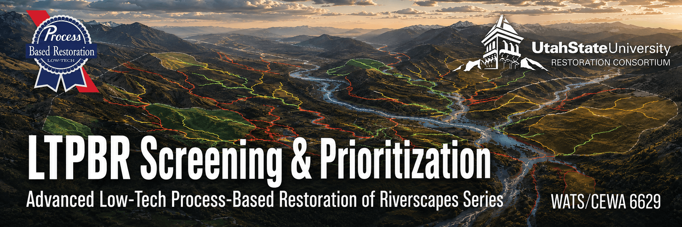
Move from a large landscape and many possible opportunities to a transparent, defensible set of priorities for conservation and restoration. In this advanced short course, participants use Riverscapes Studio (QRiS), Riverscape Network Models, GIS, and database queries to identify, compare, screen, and prioritize where more detailed planning or action should focus.
Online · November 9–12, 2026 · 1 graduate credit or 1.5 CEUs

Take me to Canvas
I'm enrolled. Take me right to the 2026 Canvas course (requires registration).

Take me to Lectures & Modules
The modules associated with WATS/CEWA 6629 — Screening & Prioritization are free for viewing here.
Registration Open
- Professionals register through USU Continuing Education - Open until day before!
- Matriculated USU Students - Register via Banner
Course Information
| Course Number | Format | Dates & Days | Times | Credit | Cost |
|---|---|---|---|---|---|
| WATS/CEWA 6629 | Live Online  | Nov 9–12, 2026 · Mon, Tue, Wed, Thu | 9:00 am–12:00 noon; 2:00–4:00 pm MT | 1 Graduate Credit · 1.5 CEUs | Standard Tuition or $330 for CEU |
Who Should Attend
This advanced short course is intended for restoration practitioners, natural-resource professionals, graduate students, program managers, and GIS users who need to decide where limited conservation and restoration attention or resources should be focused across a watershed, region, ownership, or program area.
Prerequisites
- Be comfortable with basic GIS workflows. See Getting Oriented in QGIS for self-paced preparation or USU's Geospatial Collective for formal training options.
- Previous LTPBR coursework is helpful but not required.
- Install a supported version of QGIS and the Riverscapes Studio (QRiS) and Riverscapes Viewer plugins before class.
- Have a Riverscapes Consortium account and arrive with a candidate geographic area and a real or realistic screening and prioritization question.
Instruction Team





Office Hours - For every day class meets, we will hold office hours from 1:00–2:00 pm MT using the class meeting link, or by appointment.
Course Overview
Screening and prioritization begin with a decision: what opportunities are we looking for, for what purpose, across what area, and for whom? Network models and spatial data can help answer those questions, but their outputs do not make the decision. Useful prioritization depends on explicit objectives, transparent criteria, appropriate interpretation, and a clear account of uncertainty and tradeoffs.
This course helps practitioners move from a large population of riverscape reaches to a defensible set of places for further investigation, planning, conservation, or restoration. Participants will access and interpret Riverscape Network Model outputs, summarize riverscape characteristics across large areas, develop and apply screening criteria, use reach types and condition metrics to make meaningful comparisons, and investigate promising opportunities in greater detail.
The goal is not to produce a universal ranking or allow a model to substitute for professional judgment. It is to make an early, transparent set of decisions; test and refine those decisions with relevant evidence; and document a repeatable rationale for why some places warrant closer attention than others.
Relationship to the Advanced LTPBR Series
WATS/CEWA 6629 operates primarily at the find, understand, decide, and scale portions of the advanced-series arc. It helps practitioners look across many riverscapes, assemble what is already known, make an initial transparent screening decision, and refine that decision only as far as necessary for its intended use.
The resulting priorities are not substitutes for site-scale planning. They identify where more detailed investigation and planning may be warranted and provide a documented regional or programmatic context for that work. The same approach can be repeated as new data, monitoring results, objectives, or constraints emerge.
Learning Outcomes
By the end of this course, students will be able to:
- Frame a screening and prioritization decision by defining its purpose, geographic extent, decision makers, intended use, and appropriate unit of comparison.
- Access, interpret, and analyze Riverscape Network Model outputs using QGIS, QRiS, and the Riverscapes Data Exchange.
- Use GIS and database queries to summarize riverscape characteristics and potential conservation or restoration opportunities across large geographic areas.
- Develop and apply transparent screening criteria using factors such as land ownership, flow type, physical setting, current condition, recovery potential, constraints, and restoration objectives.
- Use reach typing and condition metrics to compare riverscapes while recognizing important differences, assumptions, limitations, and uncertainty.
- Move iteratively between broad screening and closer investigation, refining criteria or interpretation when additional detail is necessary to support the decision.
- Create and justify a prioritized set of opportunities for further investigation, conservation, restoration planning, or action.
- Communicate a repeatable prioritization analysis through a concise report, maps, presentation, and published Riverscapes Studio project.
Main Course Project
Each participant will complete a Screening and Prioritization Analysis for a watershed, region, ownership, program area, or other geographic extent of their choosing.
The project will develop iteratively throughout the week:
- Decision context: Define the purpose, area, intended use, relevant objectives, and initial population of riverscape reaches or sites.
- Broad screening: Assemble available network-model outputs and other spatial information, select initial criteria, and quickly narrow or classify the candidate population.
- Comparison and refinement: Use queries, summaries, reach types, condition metrics, and closer inspection to compare opportunities and test or revise the initial screening logic.
- Priorities and rationale: Produce a defensible priority set, document the criteria, evidence, assumptions, uncertainty, and tradeoffs, and identify the appropriate next step for each class of opportunity.
In-class exercises will mix guided examples, where participants work together in a common geography, with application of the same methods to each participant's own decision area.
Final Products
To complete the course, participants will:
- Complete a Screening and Prioritization Report that documents the decision context, geographic extent, data, criteria, queries, comparisons, results, assumptions, uncertainty, and recommended next steps.
- Create a QRiS project containing the analysis, maps, and supporting information and publish it to the Riverscapes Data Exchange.
- Attach the completed report as a PDF attachment to the published Riverscapes Studio project and associate it with the relevant DCE(s).
- Produce a prioritized list or classification of potential conservation and restoration opportunities with a clear justification for how and why they were selected.
- Give a concise presentation of the analysis and receive peer and instructor feedback at the end of the workshop.
- Share links to the presentation and Riverscapes Studio project in the Advanced LTPBR Series Community.
Course Resources
The course will use:

Main Course Resources Page
The main page for course materials and resources is on the QRiS website.
QRiS & QGIS
Riverscapes Studio, a plugin for QGIS, will be used to organize and document the analysis.

Riverscapes Data Exchange
Access Riverscape Network Model outputs and other shared riverscape projects.
Canvas
Course page for assignment submission, Zoom, and grades.
We will be using Canvas for this class. Communication outside of class time will be on our Advanced LTPBR Series Community on the Riverscapes Consortium. Assignments will be submitted officially in Canvas and by sharing Riverscapes Studio projects on the Data Exchange and as posts in our community.
Community Resources
These communities from the Riverscapes Consortium are great places to ask questions, connect with colleagues, and share your work. These communities extend beyond the one-week class.
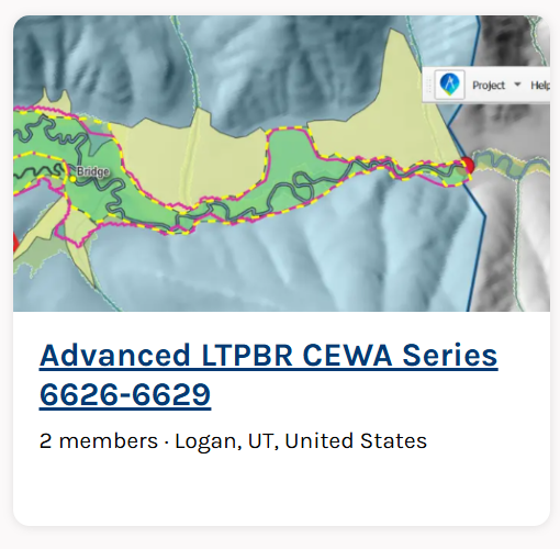

Advanced CEWA LTPBR Series Community
The community for connecting with others in this class and across the Advanced LTPBR course series.
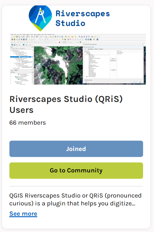
Riverscapes Studio Users
A community for QRiS users to follow releases, webinars, and training; ask questions; and share their work.
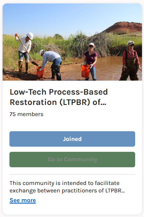

LTPBR of Riverscapes - Practitioner Community
A community intended to facilitate exchange among LTPBR practitioners anywhere in the world.
Textbook
LT-PBR Manual
The 2019 Low-Tech Process-Based Restoration of Riverscapes Design Manual (free/required).
Pocket Guide
An LTPBR Pocket Guide to take into the field (optional).
Course Grading
Pass / Fail grading is based on completion of the project assignment and participation.
A passing project does not need to identify a single objectively “best” site or use every available model and dataset. It must demonstrate that the student has:
- Framed a clear decision context, geographic extent, and intended use.
- Accessed and appropriately interpreted relevant Riverscape Network Model outputs and other spatial information.
- Developed and applied explicit, defensible screening and prioritization criteria.
- Used appropriate queries, summaries, reach types, or condition metrics to compare opportunities.
- Distinguished evidence from judgment, assumptions, limitations, and uncertainty.
- Produced and justified a useful priority list or classification and identified appropriate next steps.
- Completed and shared the required report, Riverscapes Studio project, presentation, and associated links.
Simple: do the work - pass.
University Policies
See Canvas